How to Study a Map to Find Fish
Everything an angler should know about reading a map. Here's how to study a map to find fish.
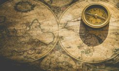

For centuries, maps have been the go-to maritime instrument for navigation. From locals wading through vast portions of lakes to explorers charting the seas to a new world, all of these were through the guiding hand of a map. It's the same for anglers past and present, as fish can seem sporadic when seen through the eyes of a new angler. Regardless of how random they may seem, fish are still animals with routines and movements that can be predictable; of course, only if an angler chooses to learn them. Anglers are looking to up their fishing game usually rely on maps that give accurate information on different bodies of water, from its depth to topography. Maps that can be used for fishing can easily be accessed through the internet or GPS. Many of today's more expensive fish finders also have that same GPS function. Learning to read a map for use in fishing opens up many opportunities. Having an idea of where fish may be at any given time while combining it with an electronic fish finder can make a fishing trip a breeze, excluding the actual fishing part.
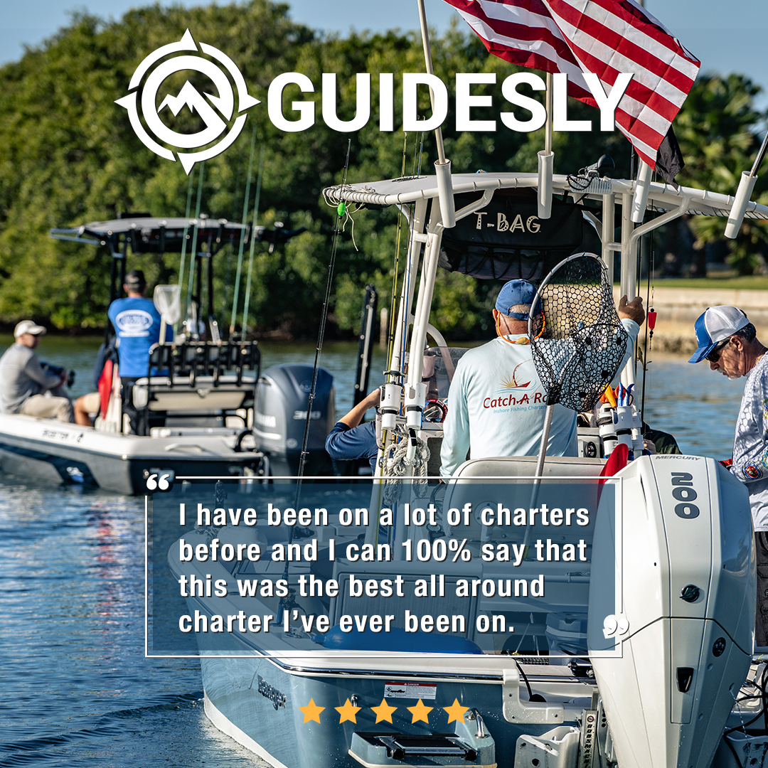
Though one way to efficiently go around fishing spots can be through booking a fishing guide on a charter, it can't be considered a long-term solution. Fishing charters can be expensive, especially for anglers who regularly fish. They're particularly the favored option for anglers visiting distant places, not really for those who fish at the local lake. Being able to understand a map is much cheaper than relying on guides. Another disadvantage is that not everybody's water is covered by fishing guides, mainly smaller and uncommon ones. On a personal level, knowing how to read a map and learning the ins and outs of a regularly visited lake can make any angler fill with pride. So for anglers looking to go deeper into the art of fishing, here are some of the basics of map reading.
Map Reading: Everything an Angler Should Know
1. Reading Contour Lines

When it comes to contour lines, it's all about depth. The spacing from line to the next determines how shallow or deep a particular section of a lake, or any other body of water, will be. Three main contour lines define the kind of landscape an area has. The three are the index, supplementary, and intermediate lines. Index lines are thick lines seen mainly by hikers and mountaineers showing elevation above sea level. Intermediate and additional lines are more common for anglers as they represent the steepness of the surface underneath. The former is noticeably thinner than an index line, while the latter is represented by dotted lines indicating flatter terrain.

Spacing is also used to determine the steepness of its topography. Contour lines farther apart are less steep and are called gradual drops or flats. On the other hand, Thinly spaced lines are called steep drops or simply drop-offs.
Knowing where a body of water has its shallow and deep parts can make all the difference when out fishing. For example, bass are more likely to be found in shallow waters than drop-offs. During the height of summer, fish tend to move into drop-offs to avoid the sun's heat.
2. Knowing the Flow of Water
Knowing how the water flows is essential when fishing in backwaters like lakes and rivers. Fish like salmon and trout swim upstream when it comes o to them to lay eggs. The opposite is true for when they're migrating. Though maps can't accurately portray where the water from a lake flows, the placement of tributaries and drainage can give anglers a little insight. Constriction points like mouths and ends of rivers are where prey can usually be found, and predatory fish wait in hiding. The end of tributaries often brings migrating fish and food locals fish to eat. Catfish and smallmouth bass are common game fish known to wait for wounded fish below water rapids.
It's also great to pinpoint some areas where saltwater and freshwater meet. Also called a confluence, these areas are usually high in vegetation and a place for migratory fish to go to and from different types of waters. The Mississippi River Delta is one of the most famous examples of salt and freshwater meet to form a rich marine ecosystem. Its diversity and the area's French and Spanish influence have paved the way for it to be called the culinary capital of the United States. Anglers intending to capitalize on its many fish should head to critical areas where the waters mix.
3. Pair Up With a Fish Finder
While not necessary when studying a map, fish finders are still helpful in locating fish. Many modern fish-finders come with GPS maps complete with contour lines and can even give a detailed picture of what's happening underneath. When maps are paired with fish finders, anglers can search between shallow and deep areas and places with debris, high vegetation, and shell beds; all of which game fish like largemouth bass frequent.
4. Try Online Fishing Maps
Although analog maps have been the go-to source for anglers across different generations, online maps have much more flexibility. Today, many of the maps found on the internet include essential information like weather reports affecting water temperature. These things highly affect how much or little fish activity is happening within a specific area. Using online maps also brings a sense of community. Many online maps services can leave fishing reports of where, when, and how they caught fish. It's not foolproof, but it does give an idea of what's in the water.

Knowing how to read maps can be an invaluable tool for any angler. For many new anglers, fishing may seem random or can feel aimless, as, without maps and fish finders, the water underneath can be a mystery. However, proper reading contour lines and familiarity with fish feeding patterns can open many doors and opportunities for anglers willing to learn.