Mud Flats Versus Grass Flats: How to Identify Them on a Satellite
How to differentiate mud flats and grass flats when looking through a satellite.

Bottom composition is one of the most important aspects of fishing. Fish activity in the area can be dictated by the topography underneath the water. Specific bottom compositions can be weedy and used for shelter by fish. Others can provide no cover or structure, leading to fish congregating at man-made structures like docks and jetties. Some bottom composition types offer more fish food than other types of bottoms. Shell beds, in particular, contain many of the prey game fish like bass eat. This makes shell beds a popular place for anglers to catch fish. Despite how popular shell beds can be for anglers, they can be difficult for regular anglers. Most of the time, anglers will come across two types of bottom composition, namely mud flats and grass flats. With these two being the most common, anglers should distinguish between them. What fish frequent mud flats and grass flats, as well as their possible hiding places, are all essential. Here are some things you need to know about mudflats and grass flats
Mud Flats
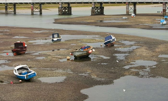
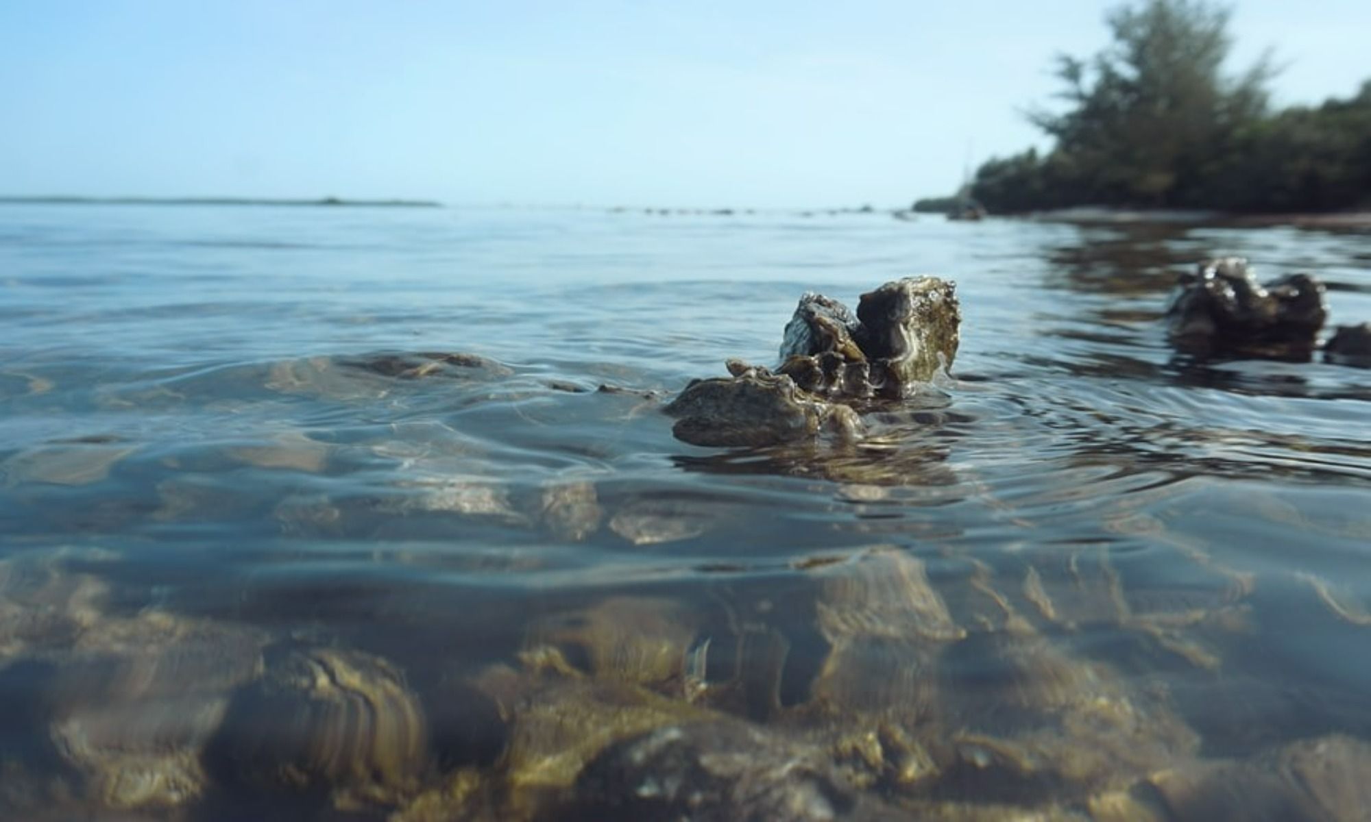
Mudflats are landmasses next to shorelines that are frequently washed by tides. They’re primarily barren, with the occasional mangrove patch hiding some bait. Despite looking desolate, mudflats are actually teeming with life. Mollusks, worms, crabs, and plankton can commonly be found at the bottom. Mudflats are a great breeding ground for fish. Besides being a breeding ground, mudflats also act against erosion.
Fishing in Mud Flats
One way to maximize fishing in mudflats is to try drifting. The technique revolves around using water vessels to slowly drift around the area. Keep in mind that flats, in general, are quite shallow, so bigger fishing boats will have a more challenging time. It is much more recommended to use smaller kayaks or paddleboards. Regardless, freely drifting along the shore can help find fish normally fed. Drifting on a boat also covers more areas than an angler who fishes in one spot would.

Apart from drifting a boat, trolling is a similar technique many anglers use. It works the same way with drifting a boat across the water. The difference between the techniques is that trolling uses multiple baits and lines simultaneously with trolling. By dragging various lures under the water, it gives game fish the impression of encountering a school of baitfish. It’s a common technique used mainly by freshwater anglers but is just as popular among anglers fishing in the sea. Remember that when trolling, it’s best to keep fishing rods apart to not get them tangled up. Giving each line different depths also makes it more realistic to game fish.
When fishing mudflats, searching near structures like docks, jetties, and piers can be really helpful. Since these flats are primarily barren and have little to no cover, man-made structures become home to many fish. Mangroves that provide vegetation can also be seen nearby.
How to Identify Mud Flats on a Satellite
When viewing mudflats on the map, it’s easy to mistake mudflats for grass flats. Grass flats are in the same range of colors depicted on a satellite. What separates mudflats is that they register as a more solid color on the map. They’re flat, dark-green colored areas between channels or where land and water often meet. It can also be found in the middle of other flats, which is why it can be difficult to tell them apart. Their color can sometimes be on the lighter side, meaning that the area of the mudflats is relatively shallower. The darker it gets, the deeper flats are.
Grass Flats
Grass flats are sections of shallow water whose bottom composition consists of weedy parts. With the flat's composition, grass flats have lots of vegetation and harbor plenty of bait for game fish to prey on.
Measuring about 5ft to 6ft, many fish lurk in its waters because of the lack of waves. Since it’s much easier to swim in still waters, game fish take advantage of this when catching prey. Shallow waters also restrict the movements of baitfish. Since the water isn’t as deep, there aren't a lot of places for fish to swim, significantly upwards.
Fishing in Grass Flats
In general, trolling and drifting are still preferred when fishing in flats. Grass flats can take up entire water sections, so slowly moving around while catching fish is an efficient way to spend the trip. Lighter and smaller boats are the preferred vessel when fishing in these parts. Compared to mudflats, manually propelling a vessel through a kayak or paddleboard can take a lot of energy.

In clearer waters, sight fishing is a popular way to fish. The technique involves actively observing the water for the movements of fish. A lot of it is also discerning how the light reflects off the bodies of game fish. Sight fishing is usually done with a partner that pushes the boat through the use of a pole. Like drifting, anglers approach fish more silently than a motor. The difference between using a pole and free drifting is that it is easier to control the boat with the former, whereas drifting sends u where winds and after go.
How To Identify Grass Flats on a Satellite
Despite being similar in color to mudflats, there are a few ways to discern it. Since most flats are in-shore, sandy areas that are yellowish in color are usually close. Grass flats typically have a couple of patches that mix in with sand. This is where the flats generally start. Grass flats are indicated on maps with shades of green similar to mudflats. Lighter shades of green indicate potholes that fish frequently use as shelter. Trails left behind by boats can also be seen via satellite and are another great indicator of grass flats. Compared to mudflats, these weedy areas give out a rougher-looking texture on the map, with their trails and potholes.