Why Google Maps Can’t Replace a Local Fishing Guide
Finding fishing spots on Google Maps often fails. See why hiring a local fishing guide delivers better results on the water.

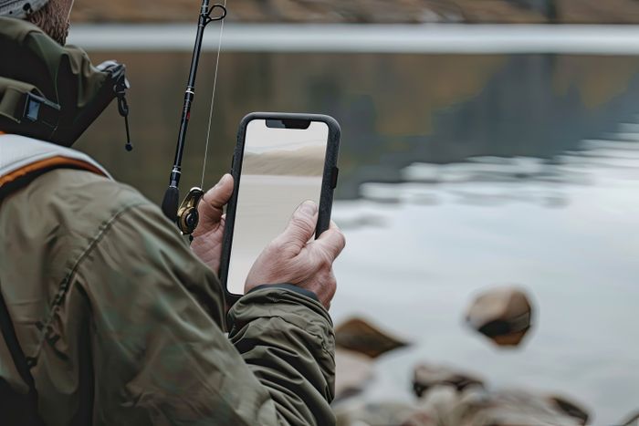
Many anglers believe the myth that Google Maps will show them exactly where the fish are, but serious anglers quickly learn this is rarely true. Searches like “best fishing spots near me” often lead to satellite images and pinned locations that look promising but fail to deliver results. Google Maps can show water access, shorelines, and terrain, but it cannot reveal fish movement, underwater structure, seasonal patterns, or daily feeding behavior. Fish do not live on static coordinates. They respond to changing conditions that maps simply cannot track. This is where the difference between guessing and catching becomes clear. Google Maps is a useful planning tool, but it lacks the real-time insight needed for consistent success. Nothing replaces the experience, local knowledge, and on-the-water judgment of a professional fishing guide when the goal is to find fish and catch them reliably.
Can Google Maps Really Show You Where the Fish Are?
Google Maps can help anglers find water, but it cannot show where fish actually live or feed. Fishing success depends on variables that change daily, not static images captured from above.
How Google Maps Works vs What Anglers Need
Google Maps is designed for navigation and geography, not fish location or behavior. It provides useful surface-level information, but anglers need far more detail to consistently catch fish.

What Google Maps can do:
Show lakes, rivers, coastlines, and general water layout
Identify public access points, boat ramps, and parking areas
Display shoreline shape, visible vegetation, and nearby terrain
What Google Maps cannot do:
Predict fish behavior or feeding patterns
Track seasonal migration or daily movement
Reveal underwater structure like ledges, channels, or drop-offs
Identify bite windows influenced by weather, tide, or pressure
A satellite image may show open water, but it cannot reveal submerged cover, temperature breaks, or food sources that actually hold fish.
Common Pitfalls of Relying on Maps to Find Fishing Spots
Many anglers assume that a marked location or visually appealing area equals a productive fishing spot. In reality, this often leads to frustration and empty casts.
Common issues anglers face:
Generic pins highlight access points, not active fish holding areas
Popular marked spots are often overfished and pressured
Water that looks promising on a map may lack depth or structure
Fish may only use certain areas during specific seasons or conditions
Angler communities frequently share stories of fishing spots found on maps that produced nothing once they arrived. Without local knowledge, maps encourage guessing rather than understanding, which is why many map-based trips fall short of expectations.
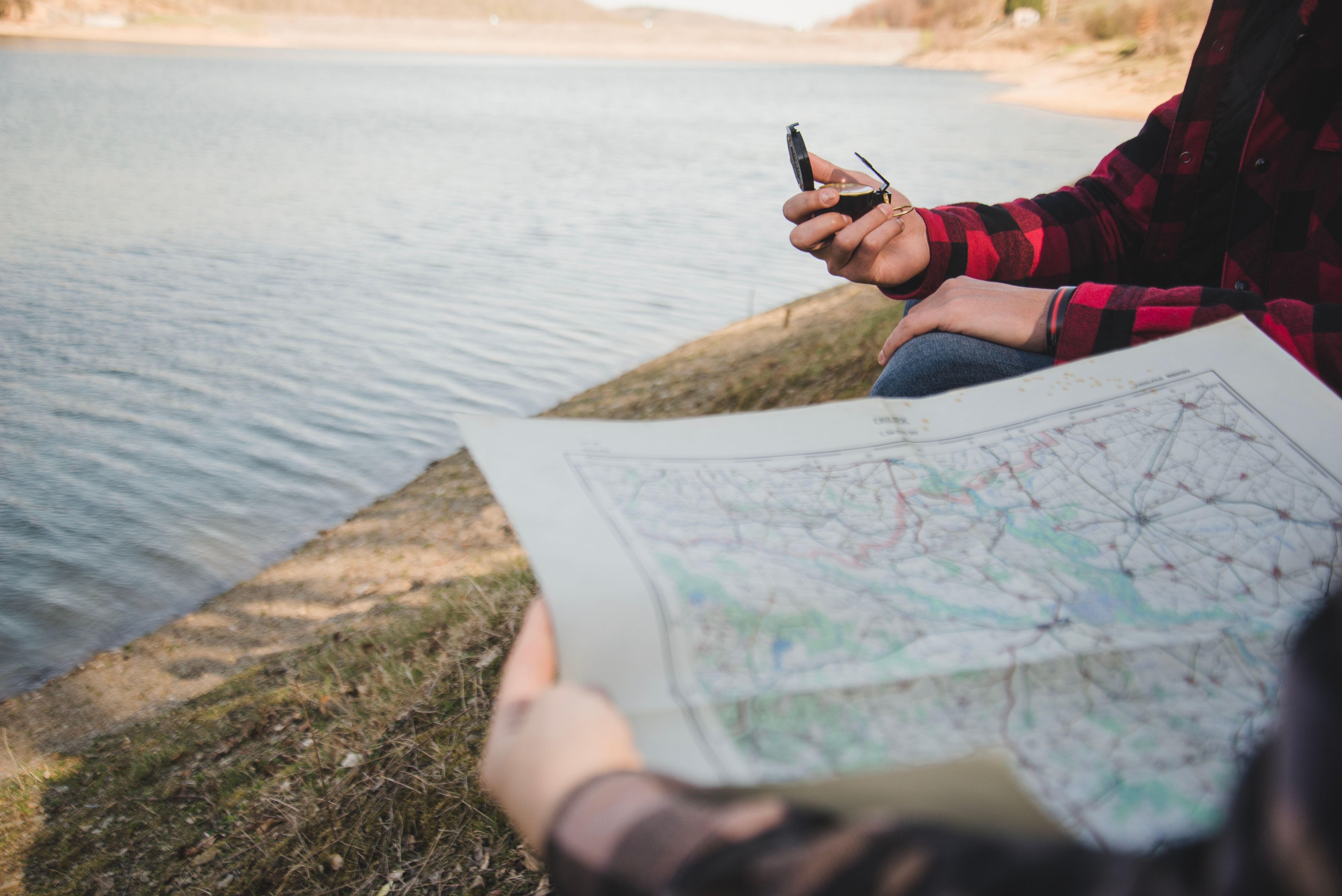
Why Local Knowledge Trumps Satellite Images
Satellite images offer a top-down view of water, but fishing success depends on understanding what is happening beneath the surface. Fish respond to changing conditions, not fixed locations, and local knowledge bridges the gap between static imagery and real-world behavior on the water.
What Local Guides Actually Know
Local fishing guides build their expertise through constant time on the water, tracking patterns that cannot be captured by satellite images or public maps. Their knowledge is specific to each body of water and changes with the seasons.
Key insights guides bring:
Detailed understanding of tides, current flow, seasonal movement, and how baitfish shift throughout the day
Knowledge of how weather fronts, moon phases, wind direction, and local microclimates influence feeding activity
Real-world examples where guides know when fish will push shallow, move deep, or suspend based on conditions rather than fixed spots
This experience allows guides to predict fish behavior instead of relying on hope or outdated information.
The Science Behind Fish Location
Fish position themselves where survival requires the least effort and feeding opportunities are highest. Water alone does not attract fish. Conditions do.
Fish consistently gather where:
Food sources such as baitfish and insects are concentrated
Structure and cover offer protection from predators and current
Water temperature, oxygen levels, and comfort zones align
Depth changes, underwater structure, cover, and thermoclines play a major role in these decisions. These critical factors determine whether a spot holds fish, yet they remain invisible and unlabeled on Google Maps.
What a Local Fishing Guide Offers
A local fishing guide delivers more than access to water or coordinates. Guides combine experience, planning, and real-time decision making to improve results, adapt to changing conditions, and help anglers fish with confidence. Below are the key advantages they provide.
1. Customized Strategy for Your Trip
Every fishing trip is different, and guides plan accordingly. They tailor each outing based on your experience level, target species, available gear, and the best timing for current conditions. Google Maps can suggest a lake, but a guide identifies exactly where to fish within that lake and why it works.
2. On the Water Adjustments That Matter
Fish behavior changes constantly, and successful guides respond in real time. They adjust locations, presentations, and techniques as weather shifts, tides change, or bait behavior evolves. A static map cannot react when fish move or conditions change during a trip.
3. Hands-On Learning and Technique Coaching
Guides actively teach while fishing. They provide immediate feedback on casting, lure choice, retrieval speed, and presentation. Instead of simply pointing at a map, guides help anglers understand techniques and patterns they can apply on future trips.
Limits of Digital Tools and Why Guides Are Still Essential
Digital fishing tools make planning easier, but they fall short once anglers are on the water. Fishing success depends on judgment, timing, and real-world experience, which apps and maps cannot provide on their own.
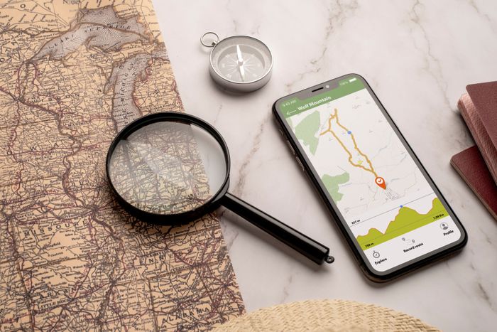
Mapping Apps vs Guided Insight
Mapping apps are helpful for understanding general layouts, but they lack the local intelligence needed for consistent success. Tools like FishBrain, Navionics, and Google Earth offer surface-level data that must be interpreted correctly.
How mapping apps help:
Identify bodies of water, depth contours, and access points
Provide general structure visuals and user-shared locations
Assist with trip planning and navigation
Where mapping apps fall short:
Do not reflect daily fish movement or feeding behavior
Cannot account for recent fishing pressure or changing conditions
Rely on shared data that may be outdated or misleading
A local guide uses these tools as references but relies on firsthand knowledge to decide where and how to fish in real time.
Spot Crowding and Conservation Concerns
Public GPS-marked spots often attract heavy fishing pressure, reducing their effectiveness over time. What looks like a reliable location online may already be overworked by the time anglers arrive.
Common problems with shared spots:
Increased pressure makes fish cautious and less likely to bite
Overfishing disrupts natural movement and feeding patterns
Popular areas lose productivity faster than lesser-known zones
How local guides approach sustainability:
Rotate fishing areas to avoid overpressure
Choose spots based on conditions, not popularity
Practice responsible fishing to protect long-term fish populations
This balance between productivity and conservation is one of the key reasons guides remain essential despite advances in digital tools.
Use Google Maps With a Local Guide for the Best of Both Worlds
Google Maps works best as a planning tool, not a decision maker. When combined with local guide expertise, anglers gain clarity, avoid guesswork, and fish smarter by using technology for access while relying on experience for results.
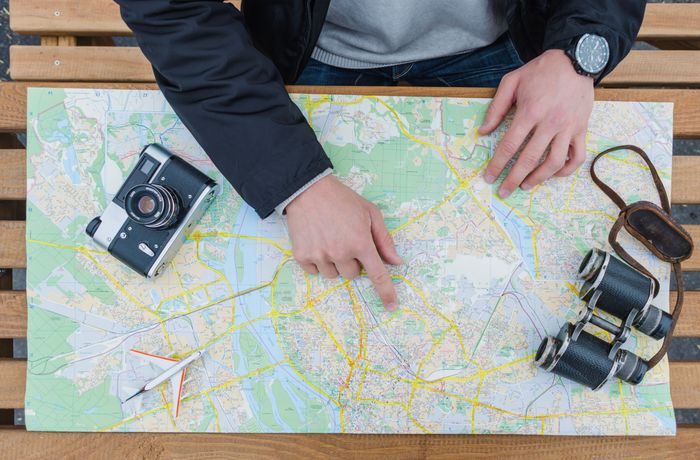
Pre-Trip Map Scouting
Google Maps is useful before the trip begins, especially for narrowing down options and understanding the layout.
How maps help before the trip:
Use satellite view to identify lakes, rivers, or coastal stretches
Check access points, ramps, and shoreline layout
Eliminate areas that are difficult or unsafe to reach
Where guides add value:
Coordinate with your guide to select tactical fishing zones
Identify productive sections within large bodies of water
Avoid dead water that looks promising on a map
Integrating Tech With Human Expertise
Technology provides information, but guides provide interpretation. When used together, planning becomes more effective.
Why the combination works:
Apps offer structure and visuals
Guides apply real-world behavior and timing
Decisions are based on current conditions, not static data
Simple workflow anglers benefit from:
Map selection
Guide consultation
On water execution
This approach turns digital tools into assets instead of limitations.
Real Results From Guided Fishing Trips
Many anglers share a similar experience after relying on Google Maps alone. They spend hours fishing spots that looked promising on satellite images, only to leave with a few bites and growing frustration. The water was right, but the fish were not.
After booking a local guide, those same anglers often see immediate improvement. Guides reposition them to areas they would have overlooked, adjust timing and techniques, and explain why fish are holding in specific zones. Catch rates increase, but so does understanding of the water.
Just as important, confidence and enjoyment return. Anglers stop second-guessing every decision and start focusing on learning and having fun. The fishing trip feels productive, engaging, and rewarding, proving that success comes from knowledge, not pins on a map.
The Real Difference Between Guessing and Catching
Fishing success rarely comes from luck or map pins alone. It comes from understanding conditions, adapting to change, and making informed decisions on the water. Digital maps help with planning, but results depend on much more than coordinates.
Key takeaways anglers should remember:
Google Maps is a useful planning tool, but it only shows where water exists, not where fish are actively feeding or holding
Local fishing guides provide irreplaceable insight gained from time on the water, seasonal experience, and real-time observation
Better fishing happens when anglers are prepared, informed, and guided, combining basic tools with expert local knowledge
Understanding this difference is what turns fishing trips into consistently successful experiences.
Conclusion
Fishing success is never about finding water. It is about understanding fish behavior, timing, conditions, and location. Google Maps can help with access and planning, but it cannot replace the experience and judgment required to consistently catch fish. Local fishing guides bring real-world knowledge that maps and apps cannot replicate. They read changing conditions, adjust strategies, and teach anglers how to fish smarter rather than guess. The difference shows in confidence, catch rates, and overall enjoyment on the water. When anglers rely on guidance instead of coordinates, fishing becomes more productive and rewarding. Use Guidesly to book a local fishing guide near you and maximize your catch. Discover expert guides who know where the fish are beyond what any map can show.
FAQs
1. Does Google Maps show private fishing access locations?
It may display roads and water, but it cannot confirm legal access, land ownership, or restrictions, so anglers must verify permissions, regulations, and boundaries locally before fishing unfamiliar areas safely.
2. Do beginner anglers benefit more from hiring a fishing guide?
Beginners benefit from faster learning, correct gear setup, safety guidance, and clear instruction, helping them avoid frustration, build skills efficiently, and enjoy fishing sooner without relying on trial and error.
3. Is hiring a local fishing guide expensive compared to fishing alone?
Guided trips often save money long term by reducing wasted travel, incorrect tackle purchases, fuel costs, and failed outings, while improving success rates and knowledge that anglers apply independently afterward.
4. Do fishing guides use technology like apps and electronics?
Professional guides frequently use electronics and mapping tools, but they combine them with experience, observation, and decision-making to interpret conditions accurately instead of following raw data blindly on the water.
5. How does fishing pressure affect fish behavior?
Fishing pressure changes fish behavior quickly, and guides monitor recent activity, timing trips to avoid crowds, adjusting locations, and maintaining productivity when popular areas become stressed or temporarily unproductive zones.
6. Why does seasonality matter so much when fishing?
Seasonal changes influence spawning, feeding depth, movement patterns, and habitat preference, requiring different approaches throughout the year, which local guides track closely to stay effective in varying waters consistently everywhere.
7. Can solo anglers safely rely on digital maps for fishing trips?
Solo anglers can plan routes with maps, but safety considerations like weather shifts, currents, tides, and emergency access are better managed with local knowledge and preparation through experience, training, and awareness.
8. Do guided fishing trips help anglers fish independently later?
Guided experiences build transferable skills, helping anglers recognize patterns, read conditions, choose techniques, and make independent decisions on future trips across similar waters with confidence, clarity, practice, repetition, patience, and success.
9. Is local guidance important for both freshwater and saltwater fishing?
Freshwater and saltwater fishing differ in species behavior, tides, currents, gear, and regulations, making localized guidance important regardless of environment or experience level for consistent results, safety, learning, success, and enjoyment.
10. When is the best time to book a local fishing guide?
Booking ahead allows guides to plan around conditions, seasons, and availability, increasing chances of optimal timing, better preparation, and a smoother overall fishing experience for anglers seeking results, efficiency, and confidence.